
Geographic Information Systems and Remote Sensing in Environmental Technology: What Students Learn
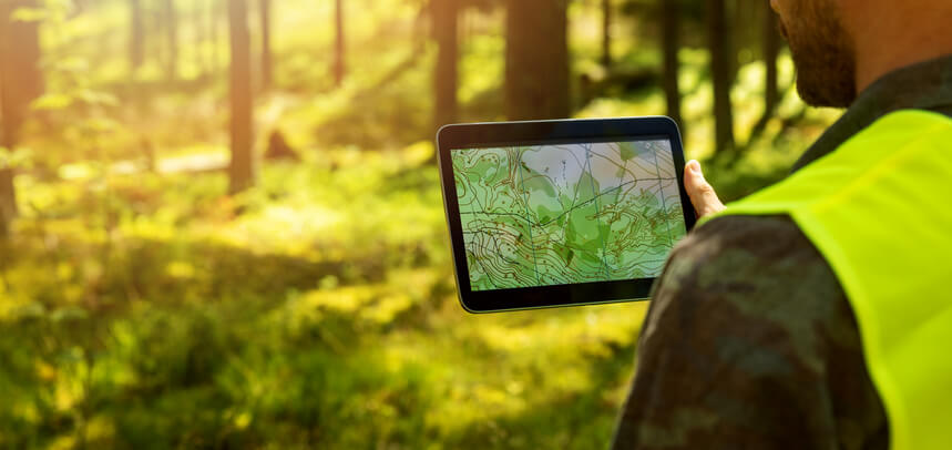
TL;DR Geographic information systems and remote sensing are important tools used by environmental professionals to collect, analyze, and interpret environmental information. These technologies support site investigations, contamination assessments, environmental monitoring, and remediation planning. Students in environmental technology programs learn how to combine fieldwork, data analysis, and modern mapping tools to